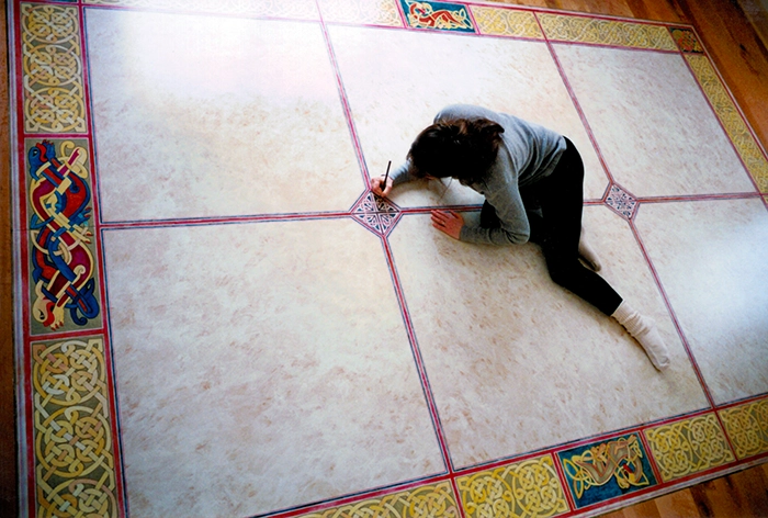
Using the floor as a canvas allows me to paint on a large scale, using acrylic paints detailed and embellishing with colored pencils and calligraphy pens. The floors are inserts of ¾” high-density fiberboard with hardwood surrounds. I use a water-based polyurethane over a special spray finish to protect the painted floors. My work ranges from interpreting antique maps to decorative subject matter.
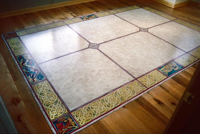
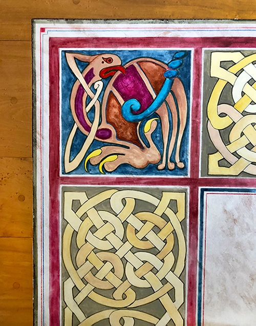
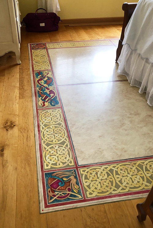
The Celtic Knot
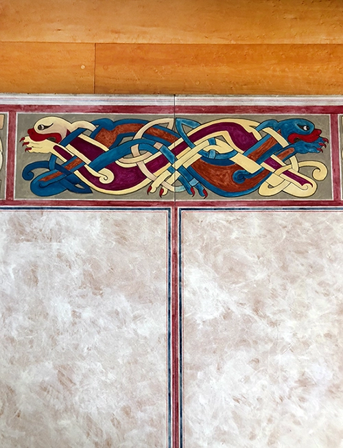
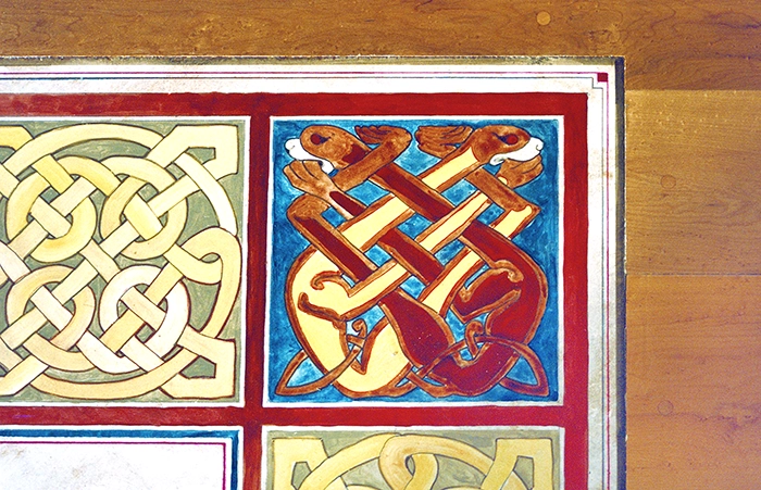
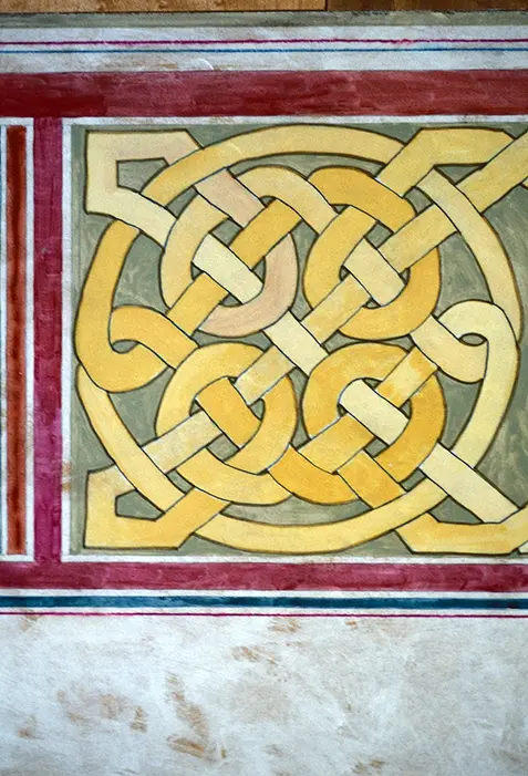
Floor painting interpreting images from the Book of Kells.
Dimensions: 12’wx8’h
Materials: High-density fiberboard, acrylic paint, Prisma & Verithin pencils.
Completed: June 16, 1995, Bloom’s Day – Suzanne Dalton
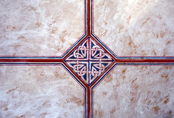
The floor of this master bedroom is a high-density fiberboard comprising six panels, 4’x4′. I used an off-white acrylic texturing technique to simulate the parchment of the Book of Kells manuscript page. The boards’ cutlines were incorporated as linear elements joined by Celtic knot diamonds, simulating my work in stained glass windows.


1755 Map of the Great Lakes Canoe Portages
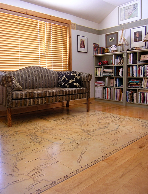
1755 French Map – Great Lakes
Dimensions: 8’wx6’hx3/4″d
Medium: Acrylic paint, calligraphy markers, dry-makers, rapidographs, Prisma & Verithin pencils.
The floor in the Explorer’s Room is composed of ¾” heartwood birdseye maple surround and the map inset is one piece of ¾” high-density fiberboard.
Completed: 1993 – Suzanne Dalton
The painted floor map was not traced but hand-drawn using the point-to-point technique, the same technique that Leonard DaVinci used in transferring his sketches. There are over 450 names/places/explanations detailed on the map that I lettered freehand. Clyde Foles drew the elaborate frontispiece frame. The text was in arcane French. Since my Italian (speaking/writing/translating) was useless, I used two French dictionaries to translate interesting phrases such as “The village of the cute little girls” or “The island where the bears sleep.”
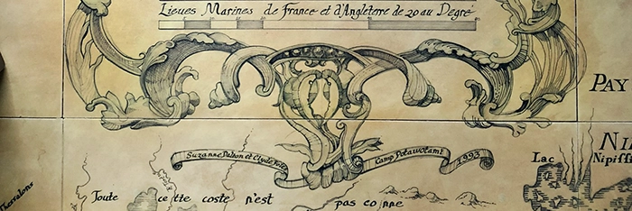
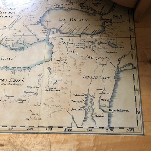
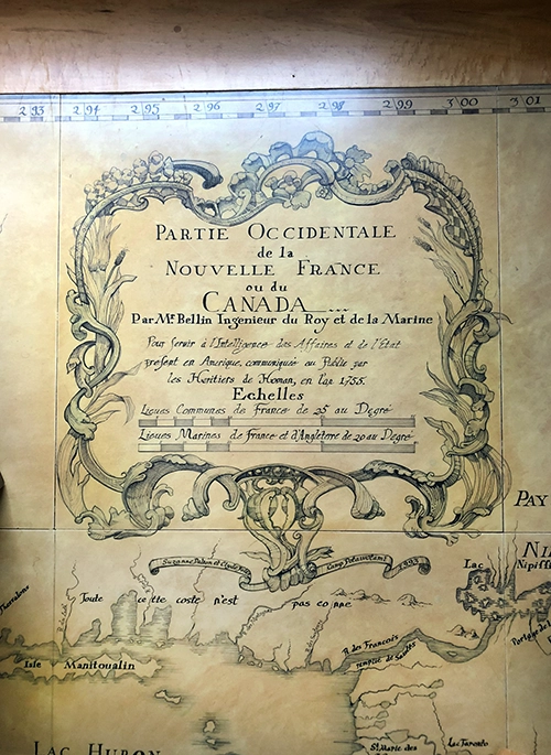
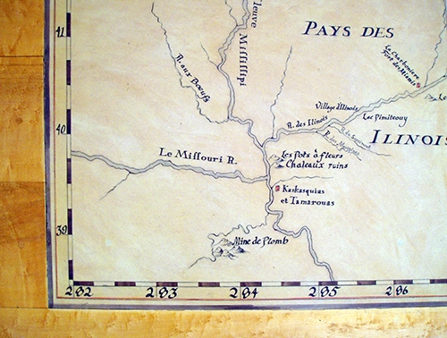
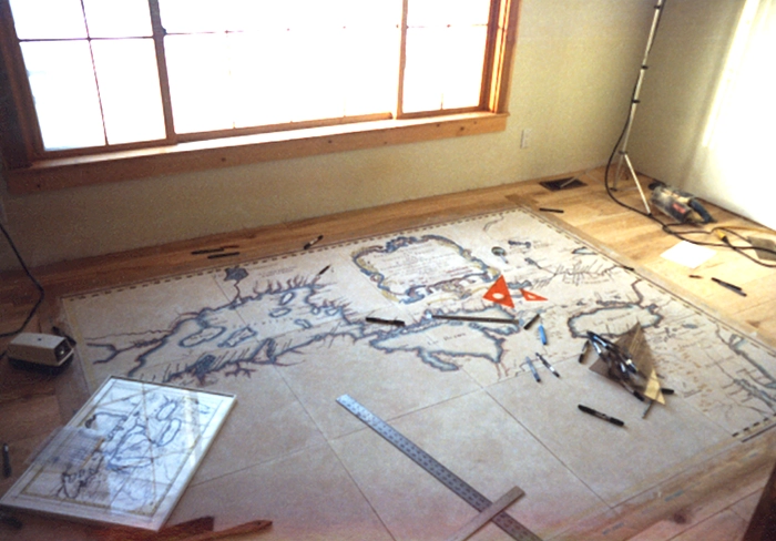
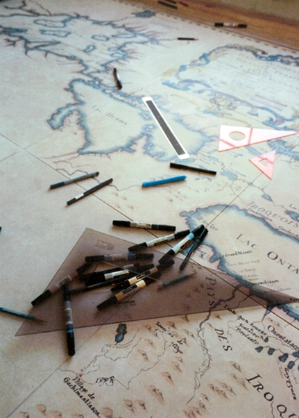
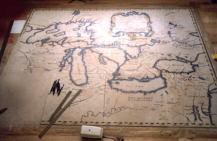
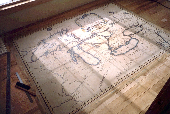
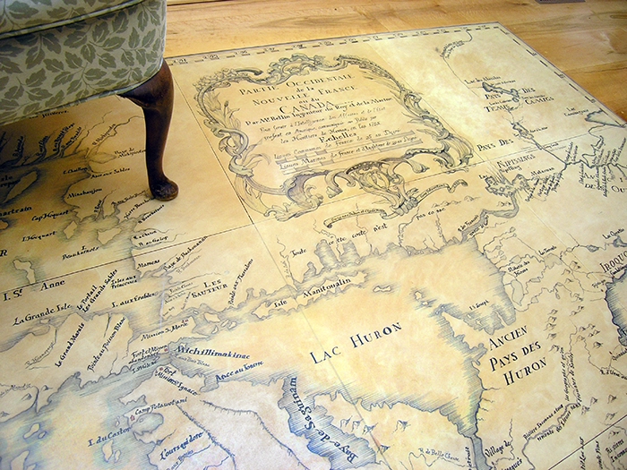
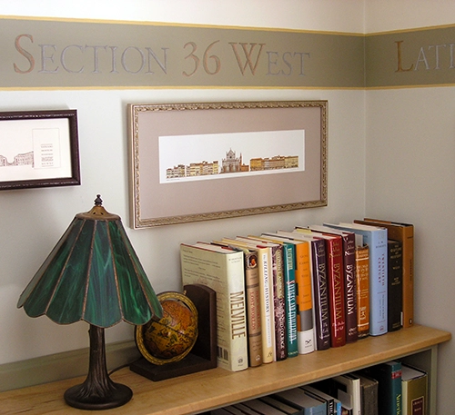
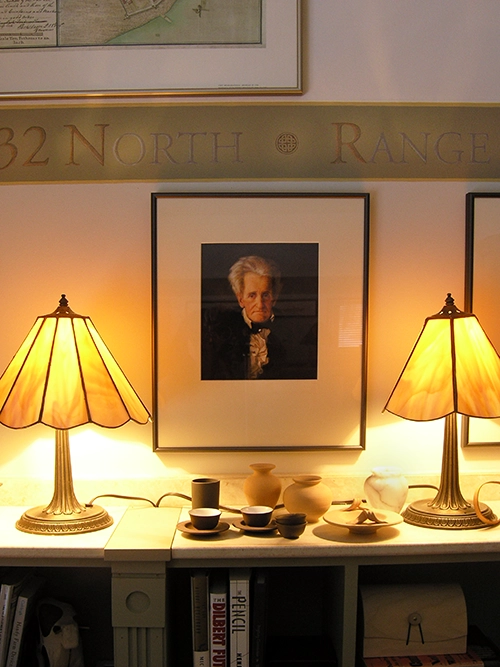
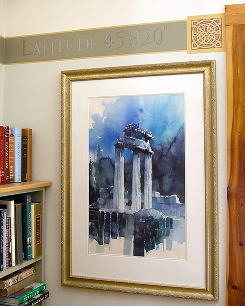
The Explorer’s Room at Camp Potawotami
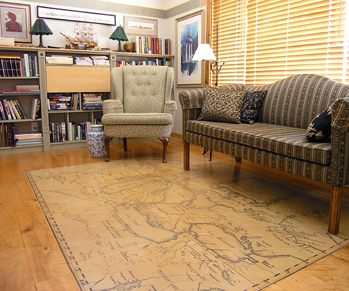
The Explorer’s Room
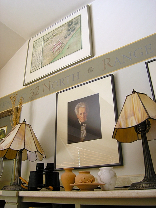
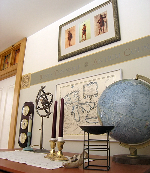
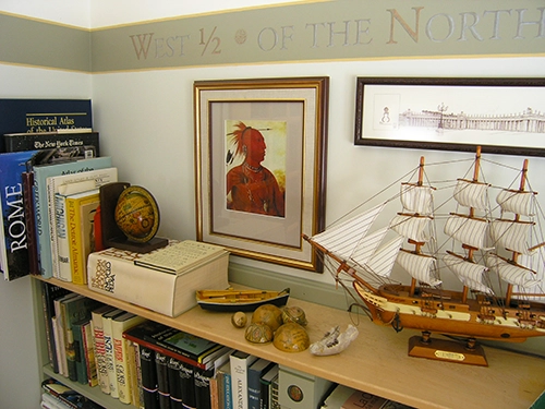
…features the French 1755 Great Lakes map and a hand-drawn wall frieze in Verithin & Primacolor pencils of Camp Potatowami’s USGS coordinates. The windows overlook a 7-acre meadow with 2 acres of landscaped gardens.
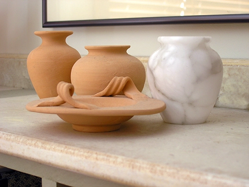
The artifacts include travel & history books, atlases, Indigenous Indian prints, alabaster vases from Volterra, Sicilian unglazed pottery, and my constructed stained glass lampshades. The floor map and room were featured in the national publication Cabin Life.


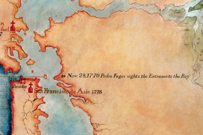
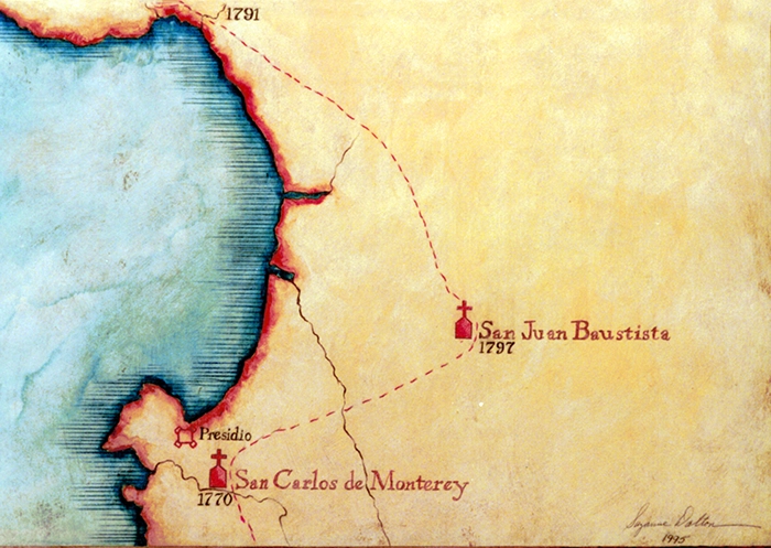
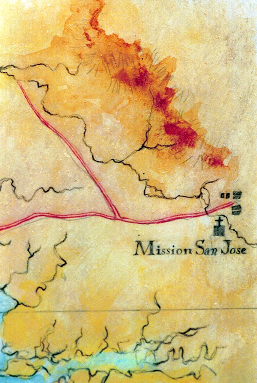
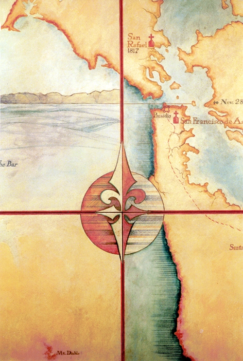
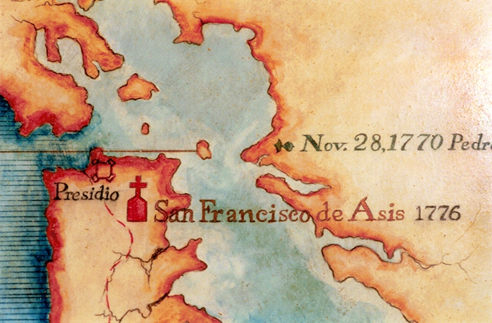
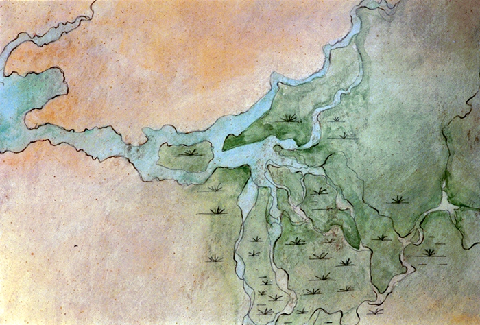
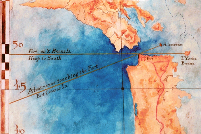
San Francisco Bay Floor Map
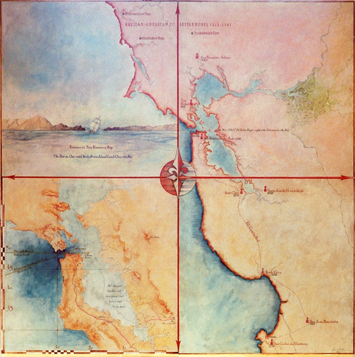
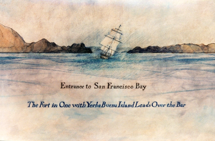
Entrance to the Bay
Compilation of 1833 Navigational Maps of the San Francisco Bay
Dimensions: 4’wx4’h
Medium: Acrylic paint, calligraphy markers, radiographs, Prisma & Verithin pencils.
Client: Sigrid Rupp AIA, Palo Alto CA
Completed & signed: 1995 – Suzanne Dalton
This work is based on the black & white engraving The Harbour of San Francisco, Nueva California, published in London, England, according to the Act of Parliament at the Hydrographical Office of the Admiralty, March 20th, 1833. Relief was shown by hachures, spot heights, pictorials, and depths by bathymetric soundings, topography, drainage, vegetation, ranchos, missions, and routes—description of tides beneath title; descriptive text throughout.
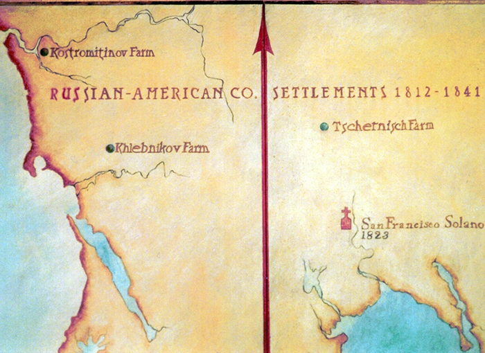
I added color and dimension and emphasized the maritime route and sightings into the extremely dangerous channel into the San Francisco Bay, the land routes, and the missions. I extended my map in the north to encompass Pointe Reyes, Bodega Bay, and the Russian River, including the Russian-American settlements in Sonoma County, and in the south to include Monterey Bay, Missions San Carlos, and San Juan Bautista.

